
Operations · Climate·18 Sept 2026·Panama Canal · Equatorial Pacific
El Niño is strengthening. Gatún is already short
NOAA Climate Prediction Center, 10 September: El Niño Advisory. Sea-surface anomalies over +3.0°C in the eastern equatorial Pacific. Niño-3.4 +1.8°C in August. Greater than 90 percent chance of a very strong event in Northern Hemisphere fall and winter 2026–27.
For October–December, a 75 percent chance of a historic event — +2.5°C or more on a three-month RONI, stronger than any since 1950.
WMO, 3 September: near 100 percent that El Niño lasts through February 2027. First time that update has been that flat.
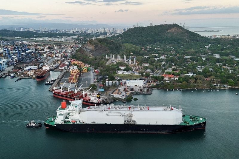
Panama Canal Authority A-29-2026, 20 August: May–August rainfall in the watershed 34 percent below the historical average. Inflows 44 percent below. Slots cut from 4 September. Reuters from that advisory: 34 ships a day from 4 September, 32 from 15 September. Neopanamax nine slots, then Panamax 25 then 23. Average through June had been 35, with room near 40.
A-33-2026, 4 September: the planned 14.48 m TFW Neopanamax draft on 1 October is postponed. 14.63 m TFW stays until further notice. Gatún and the forecast did that, not a wet recovery.
Reuters Open Interest, 17 September: an SK Gas LPG carrier paid more than $5 million for one auction slot. That is the premium, not the toll.
Wood Mackenzie, 1 September, single source: El Niño drought on the canal plus Hormuz off about 20 percent of world LNG. Pacific buyers squeezed from two sides. LNG the most sensitive cargo. Labelled as that house.
See Panama Canal cuts slots again. ACP Advisory A-29-2026 for the August lock-and-lake spine.
What El Niño is. What La Niña is not
El Niño is the warm phase of ENSO. The eastern and central equatorial Pacific run hotter than average. The Walker cell slacks. Rain follows the warm water east. Indonesia and northern Australia dry. The west coast of South America often wets. Central America and the Canal watershed sit on the dry side of a strong event. That is why Gatún is a rain tank, not a tide dock.
La Niña is the cold phase. The same Pacific runs cooler. The rain pile stays west. Australia and parts of Southeast Asia wet. The isthmus can be wetter. It is the other end of the same rope, not a different machine.
Agriculture follows the rain, not the name. El Niño years cut rice and palm in parts of Indonesia and the Philippines, wheat in eastern Australia, and maize on dry patches of Central America. They can help Argentine and south Brazilian soy when the rain comes. Those are the usual patterns NOAA and WMO print. They are not a 2026 harvest certificate.
Japan and Korea buy LNG for winter power and city gas. A strong El Niño winter in East Asia is often milder than a La Niña winter. Milder winters cut burn. That is the climate side. The shipping side in this pack is the other way: Hormuz already thin, Panama slots auctioned, US Gulf cargo to Northeast Asia the long way if the lake is short. Wood Mackenzie puts LNG first in that squeeze. SK Gas paid the auction to keep an LPG hull in the queue. The mild-winter offset and the freight spike can sit in the same season. They do not cancel on a desk.
Established
- NOAA 10 Sep: El Niño Advisory; Niño-3.4 +1.8°C August; >90% very strong winter 2026–27.
- WMO 3 Sep: ~100% through Feb 2027.
- ACP A-29: −34% rain, −44% inflow May–Aug; slot cuts from 4 Sep.
- ACP A-33: 14.63 m TFW held; 14.48 m postponed.
Not established
- A historic +2.5°C event as already measured (NOAA chance, not a close).
- That the $5 million SK Gas bid is the canal toll.
- 2026 crop losses as a counted fact.
In the library & related
Contact: desk@seavanta.com — tips, corrections, I was there.